Trails I Recommend

Runs worth the drive across Washington, Idaho, Montana and southern BC — where they start, what they ask of your rig, and how they went for us. Every trailhead below is a checked coordinate, not a guess.

7 trails

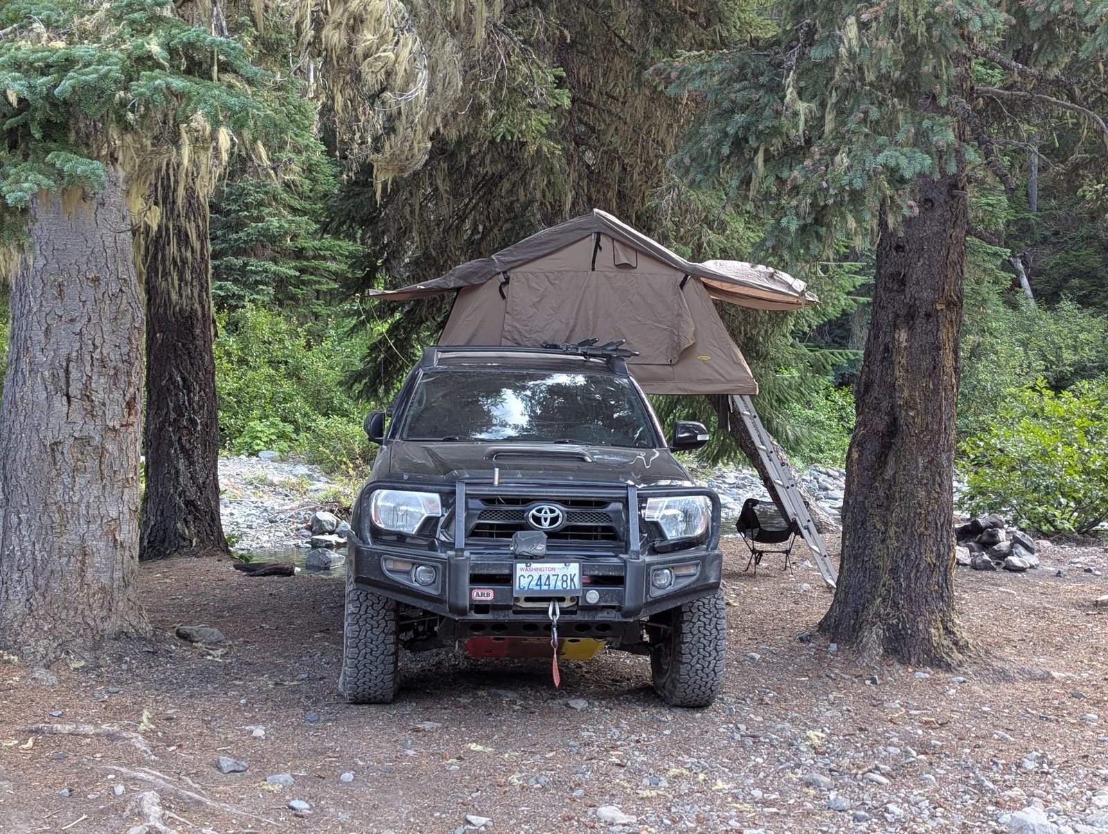
Fortune Creek 4x4 Trail Difficult

Fortune Creek 4x4 Trail

Okanogan-Wenatchee NF, Kittitas County, WA

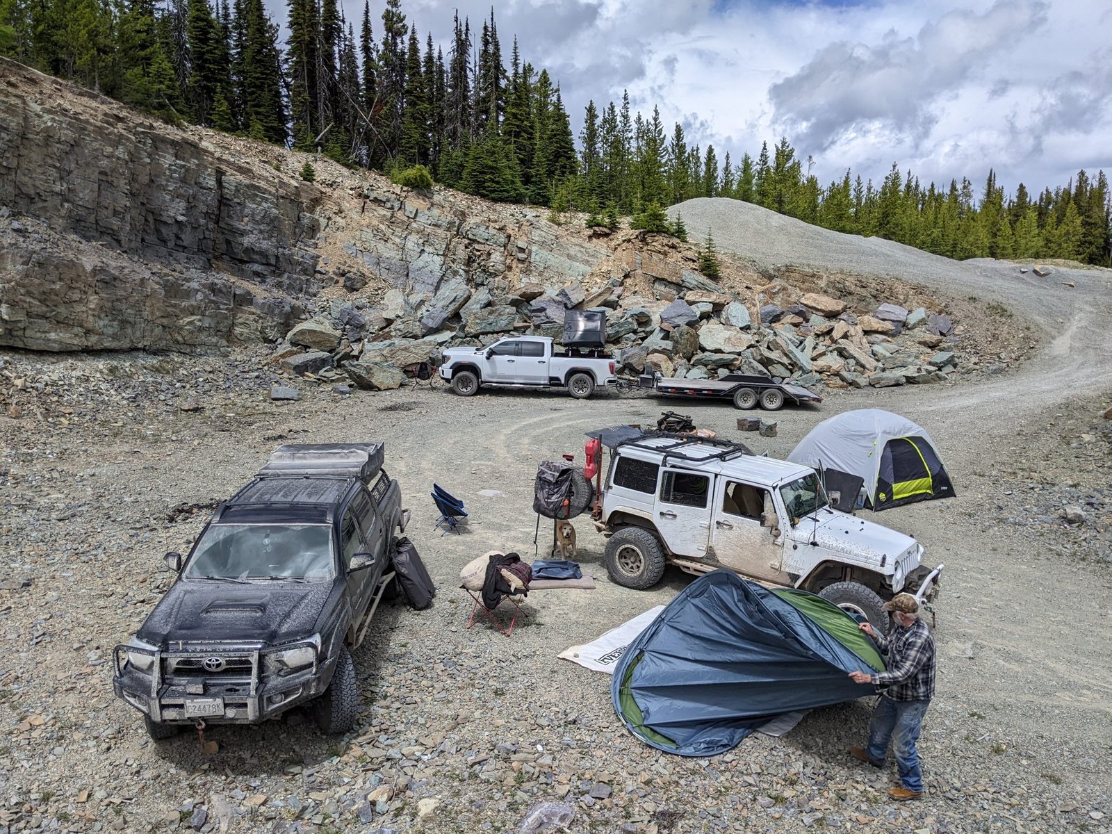
Shelf road up Fortune Creek to Gallagher Head Lake, climbing from 3,242 ft at the gate to about 5,400 ft at the pass. The lower section is tame enough that it gets rated easy, and that is exactly how it sells you on the rest of it — it tightens up and gets rocky the higher you go, and the exposure near the top is real. Do not run it alone. Before mid-July expect snow drifts above 4,000 ft and deadfall across the road, so bring a saw. Trailhead is up FR 4330 past Salmon la Sac.

Distance
6.5 miles one way
Season
Mid-June to November 1
Rig
High clearance 4x4, AT tires, recovery gear

Trailhead 47.47955, -121.04359
Difficult

Denver Creek

Pinehurst, Shoshone County, ID

You drive up the creek. Not beside it — up it, on wet rock, which is the whole reason to come. Climbs from 2,566 ft to 3,586 ft past old mining ruins, and the Forest Service has actually sanctioned motorized travel in the creek bed. Bypasses exist around the worst of it, so a less built rig can still get through, but bring a buddy vehicle either way. This is the one that handed us our first real trail carnage.

Distance
6.5 miles
Season
Late spring through fall
Rig
Built 4x4, 35s, skid plates and sliders

Trailhead 47.47082, -116.20795

The Whipsaw Trail Extreme

The Whipsaw Trail

Princeton, British Columbia, Canada

Princeton to Coalmont across the Cascades, topping out around 6,200 ft. Rock gardens, granite slabs, mud pits and creek crossings, strung together over two days of driving — this is a trip, not an afternoon. Starting from the Princeton end is the harder way round; Coalmont is the softer option if you want the scenery without the wheel lifts. Go in August, once the deadfall has been cleared and the bugs have given up. Bring your passport and food, food like chicken is crazy expensive in Canada so plan ahead. Honestly one of my most favorite overlanding trips. Do not pass this one up. Bring friends and plenty of mosquito spray, they're HUGE.

Distance
About 68 miles, 1.5 to 2 days
Season
August is the sweet spot
Rig
Capable 4x4, recovery gear, spare fuel

Trailhead 49.46587, -120.50294

Wild Bill (Blacktail-Wild Bill ORV System) Difficult

Wild Bill (Blacktail-Wild Bill ORV System)

Flathead NF, west of Kalispell, MT

Three legs — Blacktail (FR 917), Upper Dayton Creek (FR 918) and Wild Bill (FR 919) — between Lakeside and Kila. What makes it unusual is that the local clubs got permission to build challenge features into the forest roads, so alongside the natural rock ledges and mud holes there are tractor tires and log crawls waiting for you. A National Recreation Trail since 1979 and a Jeep Badge of Honor trail. Pick your line: there is something here whether you are stock or built.

Distance
13 miles of trail system
Season
Roughly June to October
Rig
High clearance 4x4; lockers earn their keep

Trailhead 48.03078, -114.44155

McCroskey State Park (Skyline Drive) Easy

McCroskey State Park (Skyline Drive)

Benewah County, ID

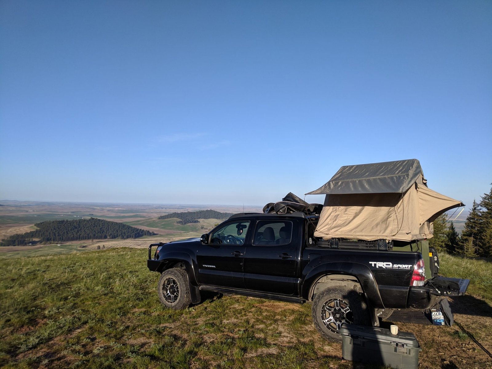
Skyline Drive runs the ridge for the length of the park at around 2,800 ft, with the Palouse falling away on both sides. Almost no technical driving — this is the one you bring somebody on for their first overland trip, or run when you want the views without the risk. Dispersed camping along the ridge. Gets greasy after rain, and it is a long way down if you slide.

Distance
About 25 miles of ridge road
Season
May to November
Rig
Any AWD or 4x4 in dry conditions

Trailhead 47.09613, -116.94254

Thompson Chain of Lakes Easy

Thompson Chain of Lakes

Lincoln County, MT

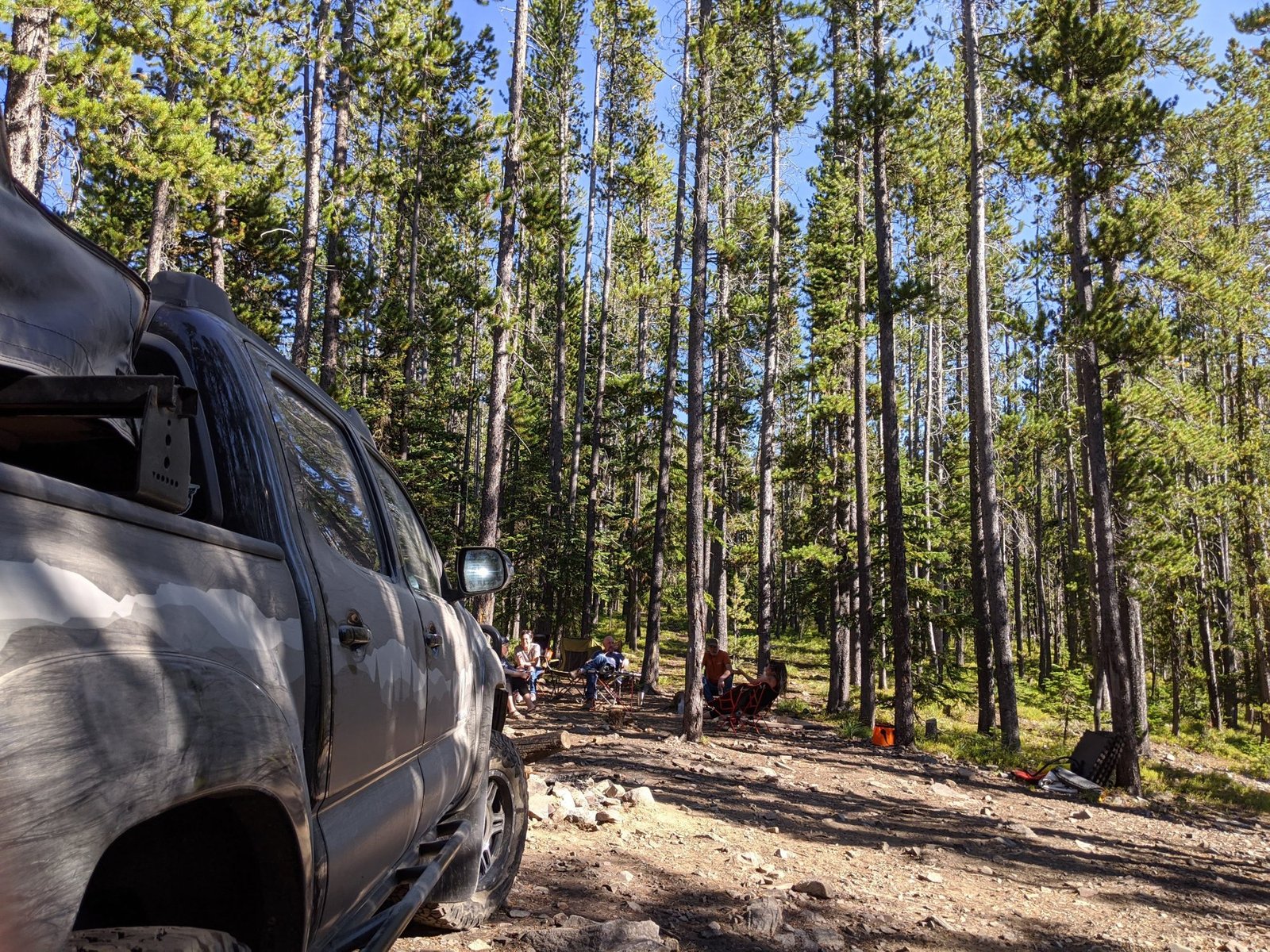
A string of lakes off US-2 between Kalispell and Libby, at about 3,300 ft. Not a trail so much as a place to put the tent for a few days while you run everything else in northwest Montana. Middle Thompson has the easiest access and the campgrounds; Upper and Lower are quieter.

Distance
Basecamp, not a run
Season
Late spring through fall
Rig
Anything that will get you there

Trailhead 48.03381, -115.07198

Antelope Lake Easy

Antelope Lake

Clark Fork, Bonner County, ID

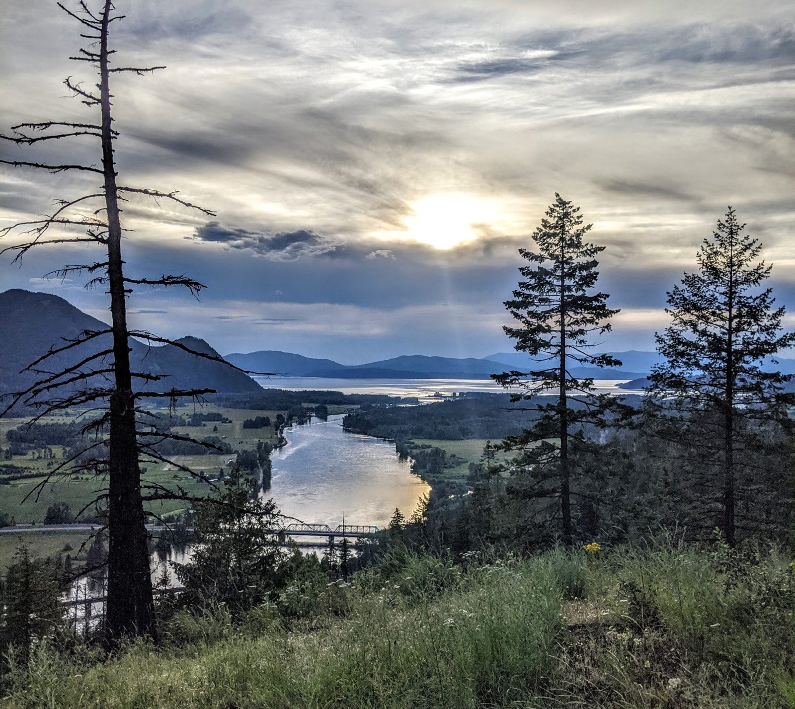
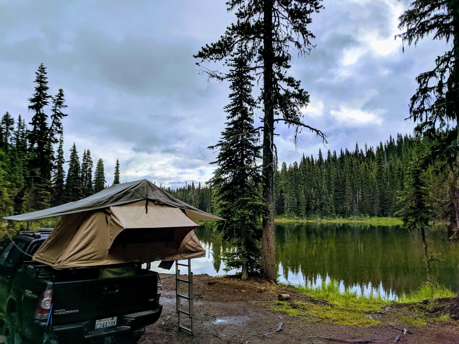
This is an Avista owned lake, however they allow public access. The mosquitos are fierce. If you walk south from the lake, you get the most amazing views of the Clark Fork and Lake Pend Oreille.

Distance
Maybe 1 mile
Season
Summer - Fall
Rig
High Clearance

Trailhead 48.13498, -116.15555